East Hendred Parish Council
Welcome to East Hendred
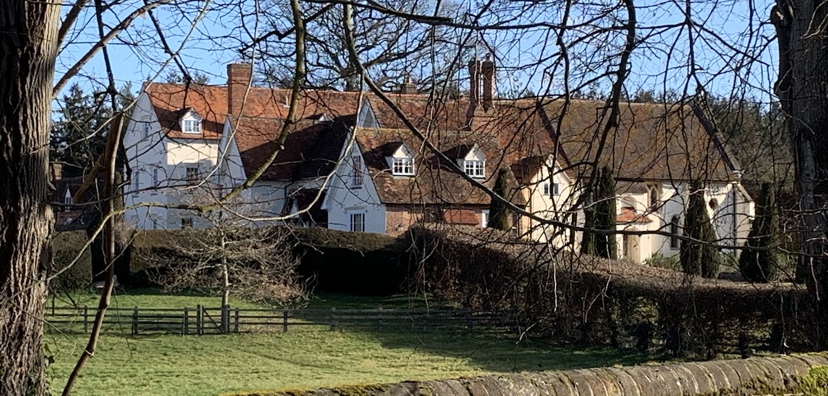
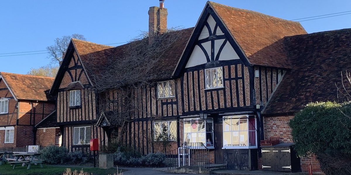
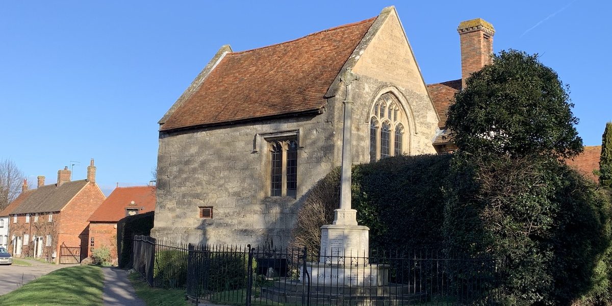
East Hendred is a springline village with about 1400 residents situated at the foot of the Downs, in the historic Vale of the White Horse in South Oxfordshire. East Hendred combines life in the 21st century with a proud history stretching back many hundreds of years, to the Iron Age and beyond. East Hendred parish also covers the west side of nearby Rowstock village.


Photo Galleries
Resident or visitors are welcome to view our beautiful local area in our gallery section